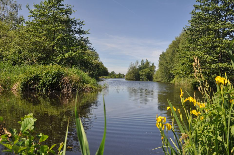
De Scheene Waterway
Wolvega
In the Rottige Meente nature reserve there is a waterway known as De Scheene that runs from the village of Nijeholtpade to the village of Spanga. Between 1850 and 1930 this waterway was a busy turf shipping route.
Take a look
At one time there were two main settlements in this area: one around the River Linde and the other around the River Tjonger. The De Scheene waterway, which runs from the village of Nijeholtpade to the village of Spanga, was dug in around 1400. The name ‘De Scheene’ refers to the fact that the new waterway divided the landscape in two. The new stretch of water was very popular among the farmers who came here to cut peat. In those days dry peat or turf was extremely important as a fuel. Peat mining started in the middle of the area and expanded towards the River Tjonge and River Linde. This led to the establishment of the villages of Nijetrijne and Oldetrijne on one side of the water and the villages of Spanga, Munnekeburen and Scherpenzeel on the other.
The large pits created by the peat mining filled with water and as the peat mining continued the situation got worse, with water covering more and more of the land. Eventually it reached a point where Friesland had to find a way to manage the extensive flooding. Around the 19th century, a law was passed stipulating that the land had to be reclaimed. Windmills, sluices and dikes were built to drain and protect large stretches of land. This made it possible to extract peat without the land becoming inundated and flooding became a thing of the past.
Here you will find De Scheene Waterway
De ScheeneWolvega Plan your route naar De Scheene Waterway
from your location


