Tijnje - Akkrum | Koningspad XL Hiking Trail Network: Section 5
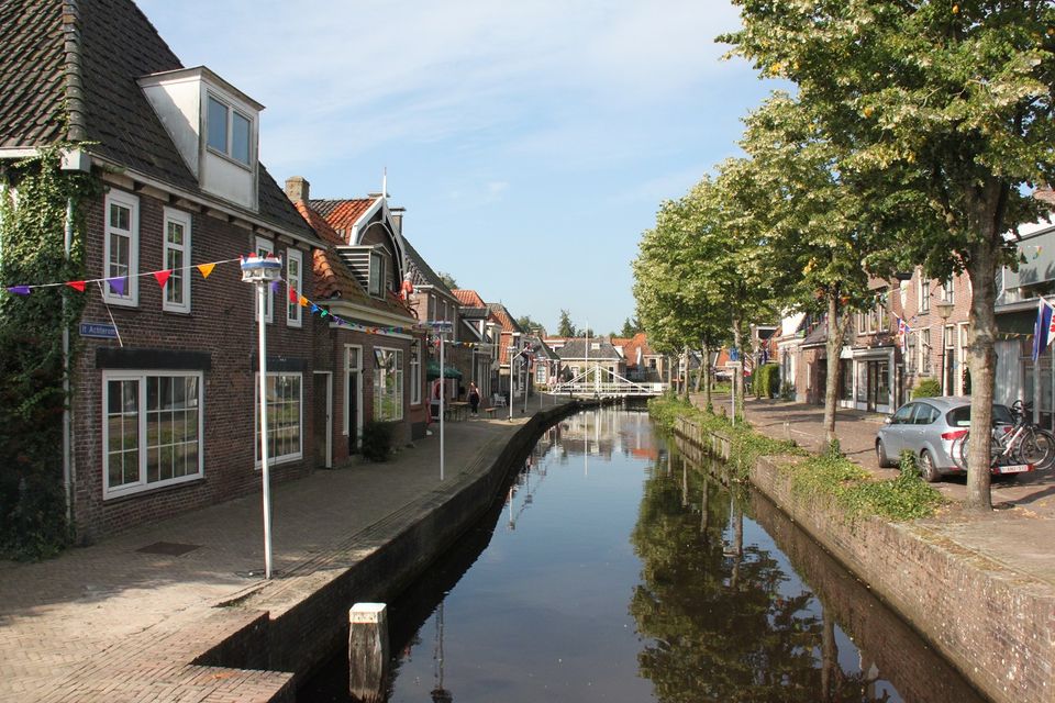
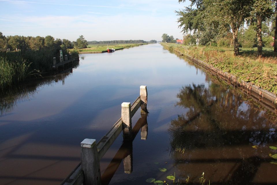
From the village of Tijnje you walk along Kanaalsweg road to the Tripgemaal museum. Then you follow the course of the Hooivaart waterway to the De Deelen wetland reserve. The peat pits at De Deelen are relatively young. In this area, peat cutting did not happen until around 1920. From here the route continues to the medieval village of Aldeboarn. This was once the principal village in the valley through which the Koningsdiep river runs. You follow the river to the villages of Nes and Akkrum. The latter is a popular water sports destination.
The 14 sections of the Koningspad XL Hiking Trail Network take you past the highlights of the Koningsdiep stream valley. A journey through meadows, heaths and the open landscape of Friesland.
To find out more about this section of the network, take a look at the detailed description of the route with photos and videos.
Sights on this route
Starting point:
Waypoint walk 65
Tijnje
Navigate to starting point
Waypoint walk 65
Tijnje
Navigate to starting point
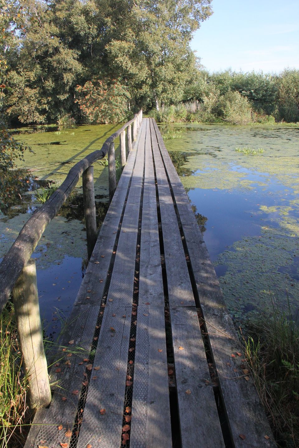
De Deelen Nature Reserve
The De Deelen nature reserve was a peat mining area. Today the land is a mosaic of water, reed beds, patches of swamp forest and narrow strips of grassland. This wetland area is home to many species of birds. There is also unique industrial heritage here.

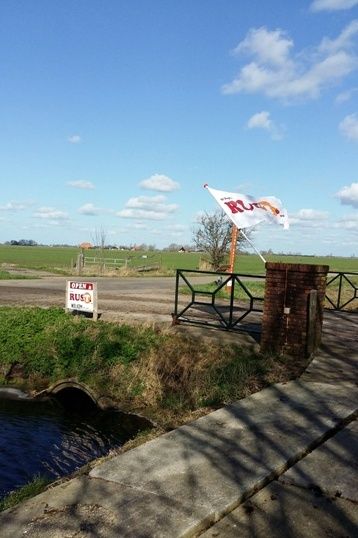
Camperplak en Rustpunt it Fjûrlân
Rustpunt “It Fjûrlân” In het prachtige pittoreske dorpje Aldeboarn hebben wij een rustpunt “It Fjûrlân” met prachtig uitzicht over de landerijen en grenzend aan het natuurgebied de Deelen, waar u ook prachtig kunt wandelen. Bij It Fjûrlân k...

End point:
Waypoint walk 16
Akkrum
Navigate to endpoint
Waypoint walk 16
Akkrum
Navigate to endpoint
Directions
Starting point:
Waypoint walk 65
Tijnje
Navigate to starting point
Wandelknooppunten: 65 - 89 - 80 - 75 - 46 - 41 - 68 - 29 - 38 - 34 - 21 - 24 - 18 - 16.
End point:
Waypoint walk 16
Akkrum
Navigate to endpoint
- 65
- 65
- 89
- 80
- 75
- 46
- 41
- 68
- 29
- 38
- 34
- 21
- 24
- 18
- 16
- 16


