Akkrum - Raerd | Koningspad XL Hiking Trail Network: Section 6
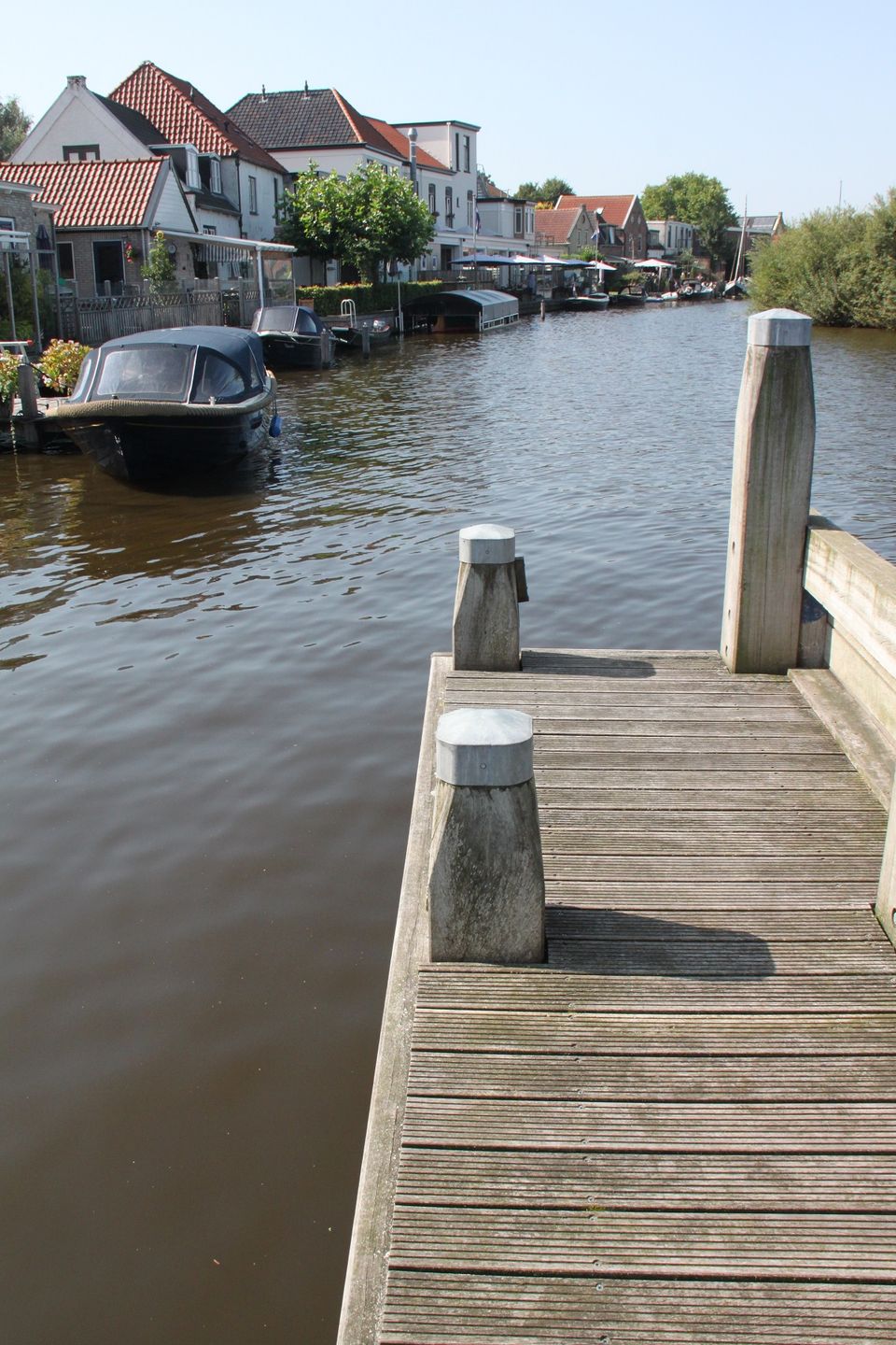
The first part of this route takes you from the village of Akkrum to the village of Jirnsum. You then walk through an old cultural landscape known as the Frisian grasslands or ‘Friese Greiden’, where there are isolated farms built on dwelling mounds or terps. The dwelling mounds or ‘terps’ protected the farmers from the high waters of the former Middelzee estuary, into which the Koningsdiep river once flowed. The route ends at Jongemastate Park near the village of Raerd.
The 14 sections of the Koningspad XL Hiking Trail Network take you past the highlights of the Koningsdiep stream valley. A journey through meadows, heaths and the open landscape of Friesland.
To find out more about this section of the network, take a look at the detailed description of the route with photos and videos.
Sights on this route
Starting point:
Waypoint walk 16
Akkrum
Navigate to starting point
Waypoint walk 16
Akkrum
Navigate to starting point
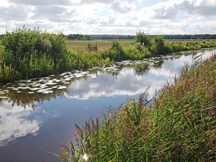
Het Koningsdiep
Riviertje het Koningsdiep kronkelt dwars door Zuidoost Friesland, van Akkrum naar Bakkeveen. De omgeving kenmerkt zich door weilanden met boswallen en diverse bossen waar gewandeld kan worden.

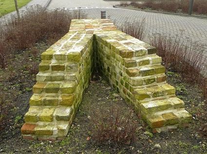
de Jirnsumer Moeting
Op 5 juni 2010 werd in het Friese Jirnsum (Irnsum) (tussen Grou en Sneek) een uniek pelgrimsmonument, ‘de Jirnsumer Moeting’, onthuld (dit is 10 jaar na de opening van het Jabikspaad).

End point
Slotsdyk
9012 DV Raerd
Navigate to endpoint
Directions
Starting point:
Waypoint walk 16
Akkrum
Navigate to starting point
Wandelknooppunten: 16 - 19 - 13 - 91 - 76 - 28 - 14 - Richting 17 tot het Park Jongemastate.
- 16
- 19
- 13
- 91
- 76
- 28
- 14
