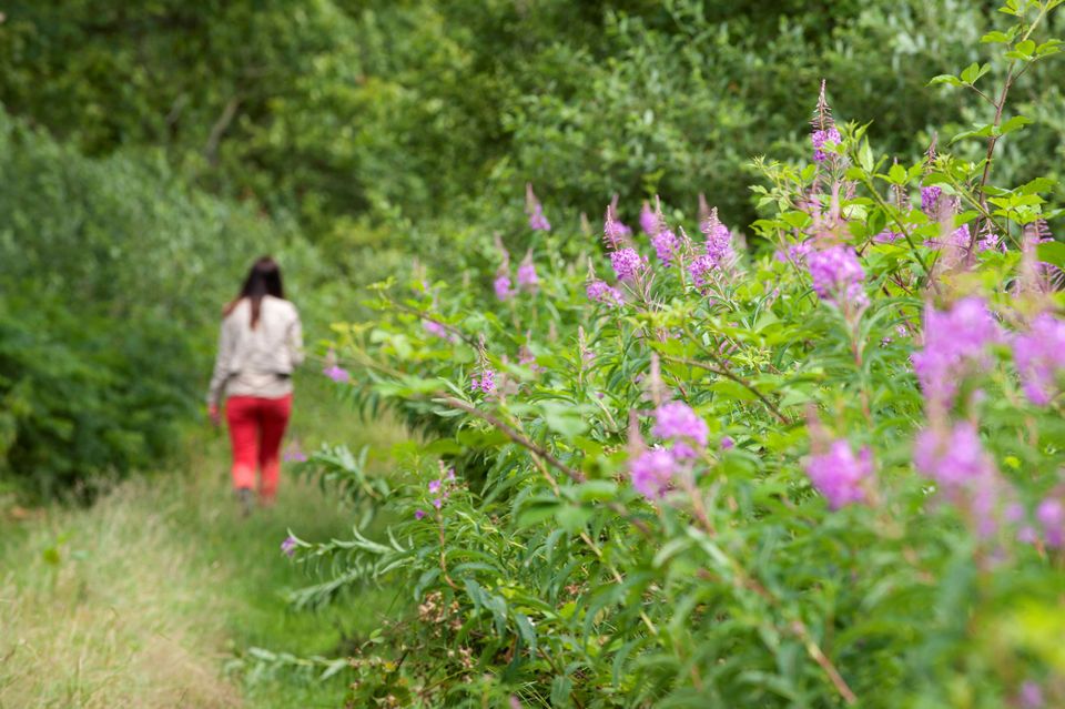
Surhuizum – Rottevalle | Section 7 of the Circular Route through the Noardlike Fryske Wâlden National Landscape conservation area
This section of the route takes you out of Friesland briefly then quickly leads you back to the Frisian village of Houtigehage where there was considerable poverty at the beginning of the last century. The first council houses were built here in 1909. You can see one of these on Skoallewyk road.
Circular Route through the Noardlike Fryske Wâlden National Landscape conservation area
The combination of cultural history and natural elements makes the Noardlike Fr…
This section of the route takes you out of Friesland briefly then quickly leads you back to the Frisian village of Houtigehage where there was considerable poverty at the beginning of the last century. The first council houses were built here in 1909. You can see one of these on Skoallewyk road.
Circular Route through the Noardlike Fryske Wâlden National Landscape conservation area
The combination of cultural history and natural elements makes the Noardlike Fryske Wâlden National Landscape conservation area unique in Europe. A network of walks covering 165 kilometres leads you through ancient landscapes where traces of the past dating back hundreds of years are still visible. Pingos formed in the Ice Age, boulder clay deposits in the subsoil, areas where peat formed and was cut and small-scale farmland enclosed by rows of alders and wooded banks. Today these trees that were planted to contain livestock and prevent sandy soil from being eroded, play an important role in preserving the unique biodiversity in the region. Local farmers are largely responsible for the maintenance of this unique hedgerow and woodland landscape that is probably one of Friesland’s best kept secrets.
It is possible to start anywhere along the 165 kilometres of the Circular Route through the Noardlike Fryske Wâlden National Landscape conservation area. The route is signposted with red and yellow trail markers and runs from the town of Burgum, through the Trynwâlden area to the villages of Damwâld, Kollum, Buitenpost, Oudega and Eastermar, eventually arriving back in Burgum.
Sights on this route
Starting point
It Sud
9283 TV Surhuizum
Navigate to starting point
De Nôtmûne Koartwâld
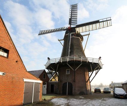
Deze molen is gebouwd in 1864 en heeft met een zware storm in 1946 zijn wiekenkruis verloren. In 1990 nam de plaatselijke molenstichting het initiatief om de molen weer maalvaardig te maken en in 1995 werd deze molen weer in gebruik genomen.
Opende Blotevoetenpad Barefoot Trail
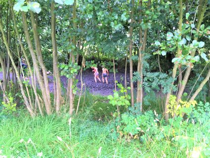
Feel the mud between your toes, wade through the pond, get sandy on the beach and lost in the maze. The Barefoot Trail is a real adventure. Getting dirty is part of the fun. Be sure to read the tips for parents!
Opende Blotevoetenpad Barefoot Trail
Opende Blotevoetenpad Barefoot Trail
Blotevoetenpad Opende
Nabij Kaleweg (incl. strandje) 12
9865 TC Opende
Museumboerderij Ot en Sien
Museumboerderij Ot en Sien in Surhuisterveen, de locatie voor een toeristisch uitstapje, groepsuitstapje of familiefeestje.
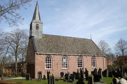
Doarpstsjerke Rottevalle
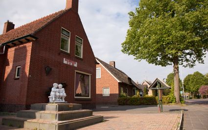
De voormalige hervormde kerk staat op een verhoogd kerkhof. Binnen in de kerk valt op dat er veel licht in de kerk binnenvalt. Dat geeft het interieur van de kerk een aangename sfeer.
End point
Efterwei
9221 SK Rottevalle
Navigate to endpoint
- 81
- 46
- 77
- 81
- 31
- 34
- 38
- 21
- 42
- 43
- 41
