Hallumerhoek - Dokkum | Elfstedenpad Hiking Trail: Section 12
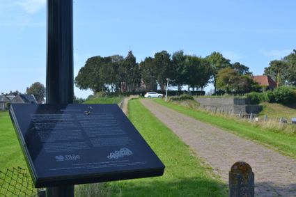
From the hamlet of Hallumerhoek in the area outside the dikes, you continue to the village of Ferwert further on. Here the route crosses the original coastline. But even on the landward side of the dikes, people lived on dwelling mounds or ‘terps’ to keep their feet dry.
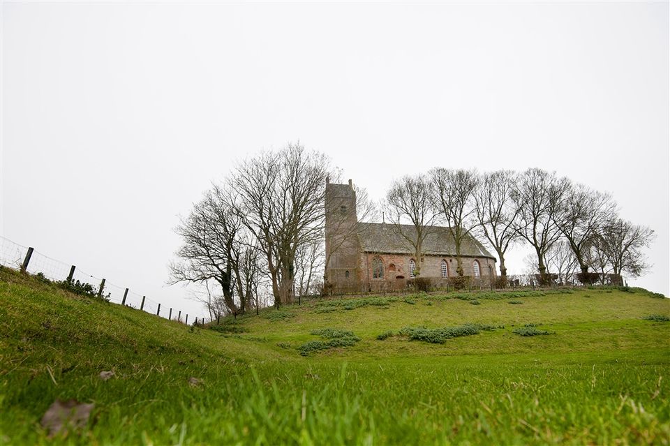
The small village of Hegebeintum just after Ferwert is built on the highest mound in Friesland, though part of the terp has since been dismantled. These large mounds of earth are a spectacular sight in an otherwise flat landscape.
After circling the little church in the village of Lichtaard, the trail continues along the banks of the Dokkumer Ee canal. This stretch of water took the skaters to Dokkum, a place of pilgrimage in the north.
Sights on this route
Starting point
Hoge Herenweg
9074 TH Hallum
Navigate to starting point
Hegebeintum
Het landschap langs de Friese kust heeft een bijzonder kenmerk: de terp. Terpen zijn opgeworpen woonheuvels, die bescherming moesten bieden tegen het opkomende zeewater.

Harsta State
Harsta State in Hegebeintum is een oude Friese state met een mooie landschapstuin met stinzenflora in het noorden van Friesland. De tuin en een gedeelte van het huis zijn opengesteld voor het publiek.

Dokkum (Dokkum)
Dokkum is de meest noordelijk gelegen Elfstedenstad, ze ontstond nadat deze plek een bedevaartsoord werd na de moord op Bonifatius in 754.

Directions
- Wandel van het startpunt naar knooppunt 52, 21, 22 en daar rechtsaf om het paadje langs het water te volgen naar 32, 90, 48, 51 en 93.
- In Ferwert volg je knooppunt 79, 77, 70, 71, 73 naar Hegebeintum. Daarna knooppunt 88, 83 en 45. Vanaf daar langs het water naar 18 om vervolgens te eindigen aan de rand van Dokkum.
Dokkum (Dokkum)
Dokkum is de meest noordelijk gelegen Elfstedenstad, ze ontstond nadat deze plek een bedevaartsoord werd na de moord op Bonifatius in 754.

- 52
- 21
- 22
- 32
- 90
- 48
- 51
- 93
- 79
- 77
- 70
- 71
- 73
- 88
- 83
- 45
- 18
