Oldeberkoop - Bontebok | Section 9 of the Bonifatius Kloosterpad Monastery Route
To make it easy to navigate, download the route in Google Maps!
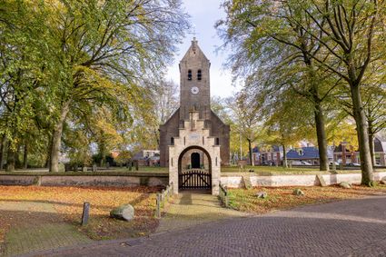
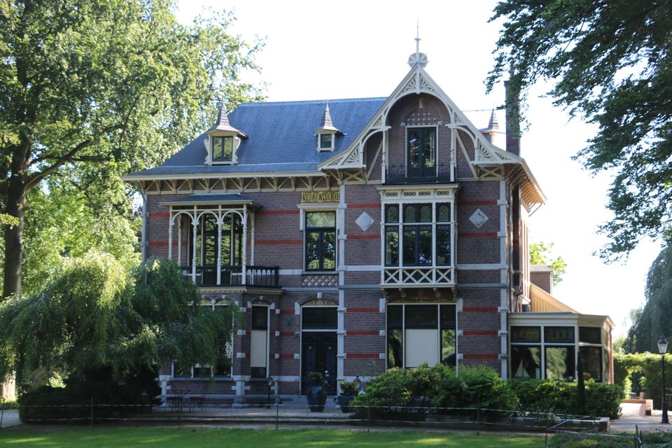
This section of the Bonifatius Kloosterpad Monastery Route starts in the village of Oldeberkoop, which became home to the nobility. At the centre of the village there is the old Bonifatiuskerk church. The gatehouse and surrounding yellow brick wall add to the beauty of the church. The village is situated on a high sand ridge between the Lende and Tjonger river valleys and was an early settlement. In the days when there were large landowners, members of the Willinge Prins family built country estates and planted forests here.
Molenbosch road leads you out of the village and into the Tjonger valley. Continue parallel to the river into the Katlijker Schar nature reserve.
On Katlijkerheide …
To make it easy to navigate, download the route in Google Maps!
This section of the Bonifatius Kloosterpad Monastery Route starts in the village of Oldeberkoop, which became home to the nobility. At the centre of the village there is the old Bonifatiuskerk church. The gatehouse and surrounding yellow brick wall add to the beauty of the church. The village is situated on a high sand ridge between the Lende and Tjonger river valleys and was an early settlement. In the days when there were large landowners, members of the Willinge Prins family built country estates and planted forests here.
Molenbosch road leads you out of the village and into the Tjonger valley. Continue parallel to the river into the Katlijker Schar nature reserve.
On Katlijkerheide heath you are likely to run into a shepherd with a flock of sheep as you make your way towards the little village of Bontebok, which developed at the crossing point of a country road and a waterway.
Sights on this route
Starting point
Willinge Prinsstraat 1
8421 PE Oldeberkoop
Navigate to starting point
Bonifatiuskerk Oldeberkoop
De Bonifatiuskerk vind je middenin het prachtige dorpje Oldeberkoop. Deze kerk behoort tot de oudste van Zuidoost Friesland, de oudste delen zijn waarschijnlijk rond het jaar 1125 al gebouwd. De huidige gemetselde toren dateert uit de 17e eeuw.

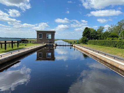
Sluis I
De eerste sluis in de Turfroute, een vaarroute tussen Heerenveen en Oosterwolde. Deze vaarroute voert langs vele bruggen en sluizen, naast deze sluis staat een prachtige witte sluiswachterswoning.

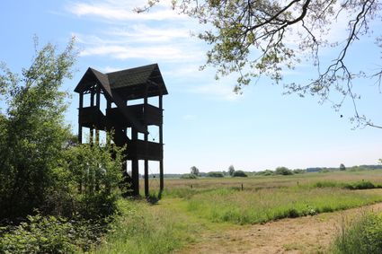
Tsjongertoer
Vanuit deze houten uitkijktoren heb je een prachtig uitzicht over de Tsjongerdellen, de rivierdelta van de oude rivier De Tjonger. De toren staat bij natuurgebied Ketliker Skar in Zuidoost Friesland.

End point
Hogeveensweg
8415 Bontebok
Navigate to endpoint
Directions
Knooppunt 27 naar 20 doorsteken vanuit park naar weg door bungalowpark, vervolgens rechtsaf naar 14 - 15 richting 32.
Op kruising met Tjongervallei linksaf naar Tsjongertoer. Ter hoogte van uitkijktoren weg oversteken naar Het Katlijker Schar. Paaltjesoute door bos volgen naar Schoterlandse weg (zie infobord).
Rechtsaf 23 en weg oversteken naar 22 - 21 - 80 - 71.
- 27
- 20
- 14
- 15
- 23
- 22
- 21
- 80
- 71
