Frisian Water Line II
This cycling route takes you past places where fortifications were rapidly constructed along the central section of the Frisian Water Line during the Eighty Years’ War in Southeast Friesland.
Start at a TOP
You can also start this route at the Tourist Transfer Point (Toeristisch Overstap Punt or ‘TOP’) in Oldeberkoop. From there, cycle to Junction 91 then Junctions 93 - 71 - 78 - 31 - 34 - 25 - 47 - 54 - 56 - 28 in that order.
About the Frisian Water Line
The Frisian Water Line was built shortly after 1580 and stretched from the Zuiderzee inlet in the west to the Groningen Water Line in the east.
During the Eighty Years’ War with Spain …
This cycling route takes you past places where fortifications were rapidly constructed along the central section of the Frisian Water Line during the Eighty Years’ War in Southeast Friesland.
Start at a TOP
You can also start this route at the Tourist Transfer Point (Toeristisch Overstap Punt or ‘TOP’) in Oldeberkoop. From there, cycle to Junction 91 then Junctions 93 - 71 - 78 - 31 - 34 - 25 - 47 - 54 - 56 - 28 in that order.
About the Frisian Water Line
The Frisian Water Line was built shortly after 1580 and stretched from the Zuiderzee inlet in the west to the Groningen Water Line in the east.
During the Eighty Years’ War with Spain and a century later when the Prince-Bishop of Münster, also known as ‘Bombing Bernhard’, attempted to invade Groningen, the land here was flooded. The only way to get to Leeuwarden was to pass through the strategically located forts, also known as ‘sconces’. So the capital of Friesland was protected.
This cycling route takes you past places along the central section of the Frisian Water Line where the forts stood. You learn more about the Terbandsterschans and Schoterschans forts near the town of Heerenveen and the Bekhofschans and Tolbrugschans forts near the village of Oldeberkoop. Some of the fortifications can still be seen in the landscape.
See more of the Frisian Water Line
The Frisian Water Line stretched from the Zuiderzee inlet to Groningen. If you would like to see all of it, there are two other cycling routes you can follow.
Cycling route - Part I (East section)
Cycling route - Part III (West section)
Sights on this route
Starting point
Pim Mulierlaan
Heerenveen
Navigate to starting point
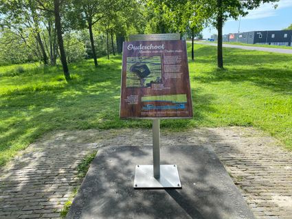
Schoterschans
De voormalige Schoterschans - ook wel de Tjongerschans genoemd - werd in 1580 gebouwd op de fundering van het verlaten klooster in Oudeschoot.
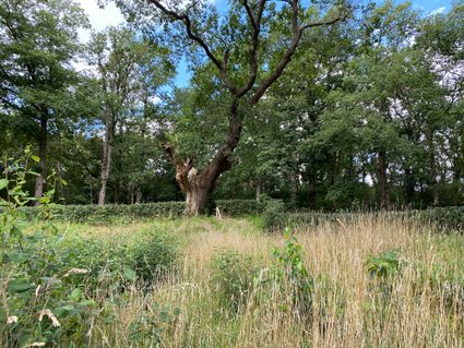
Bekhofschans
Op een schilderachtige plek ten zuiden van het dorp Oldeberkoop - aan rivier de Linde - is de Bekhofschans te vinden. Een verdedigingswerk dat onderdeel was van de Friese waterlinie.
Tolbrugschans
De Tolbrugschans is een verdedigingswerk dat in 1580 is gebouwd als onderdeel van de Friese Waterlinie. Momenteel is er op deze plek een recreatiebedrijf gevestigd met dezelfde naam, je ziet nog wel de hoogteverschillen in het terrein.
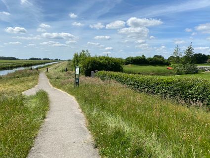
Tsjongertoer
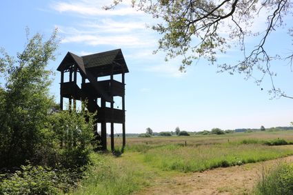
Vanuit deze houten uitkijktoren heb je een prachtig uitzicht over de Tsjongerdellen, de rivierdelta van de oude rivier De Tjonger. De toren staat bij natuurgebied Ketliker Skar in Zuidoost Friesland.
Terbandsterschans
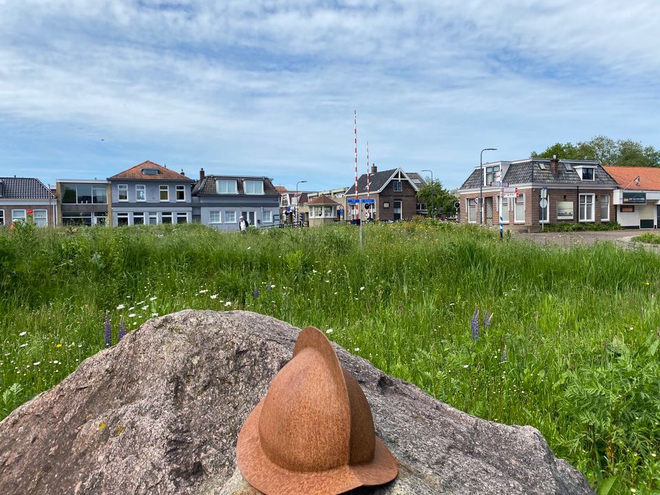
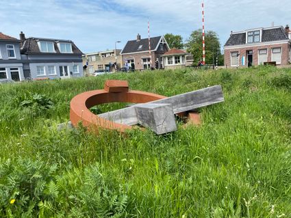
De Terbandsterschans werd in 1580 aangelegd als onderdeel van de Friese waterlinie. In 2018 is er op deze plek een kunstwerk geplaatst ter nagedachtenis aan een verdedigingswerk.
Directions
Omdat deze route niets steeds langs fietsknooppunten gaat, heb je een routebeschrijving nodig.
- Je start op de parkeerplaats van ijsstadion Thialf
- Van hieruit naar knooppunt 25 (Oudeschoot) waar je een stop maakt bij de voormalige Schoterschans
- Door via knooppunt 47 - 54 - 56
- Van Oldeholtpade fiets je naar het dorpje Zandhuizen
- Volg knooppunt 28 waar zich de eeuwenoude Bekhofschans bevindt
- Via Oldeberkoop naar knooppunt 91: de voormalige Tolbrugschans
- Langs knooppunt 93 - 71 - 78 - 31 naar Heerenveen
- Bij Heerenveen vanaf Domela Nieuwenhuisweg linksaf bij de rotonde richting Het Meer
- Fiets tot aan knooppunt 34, hier staat het monument van de Terbandsterschans
- Hierna terug fietsen naar het zuiden van Heerenveen waar Thialf wacht
Je kunt deze route ook starten vanaf Toeristisch Overstap Punt Oldeberkoop.
- 25
- 47
- 54
- 56
- 28
- 91
- 93
- 71
- 78
- 31
- 34
